Research
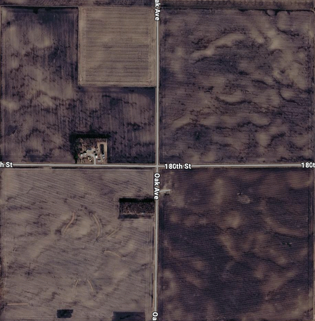
How much soil has humans eroded through agriculture?
Some of our research involves using satellite imagery and high-resolution topographic data to investigate processes that shape the Earth's surface. We use remote sensing techniques to study how modern farming practices have altered soils.
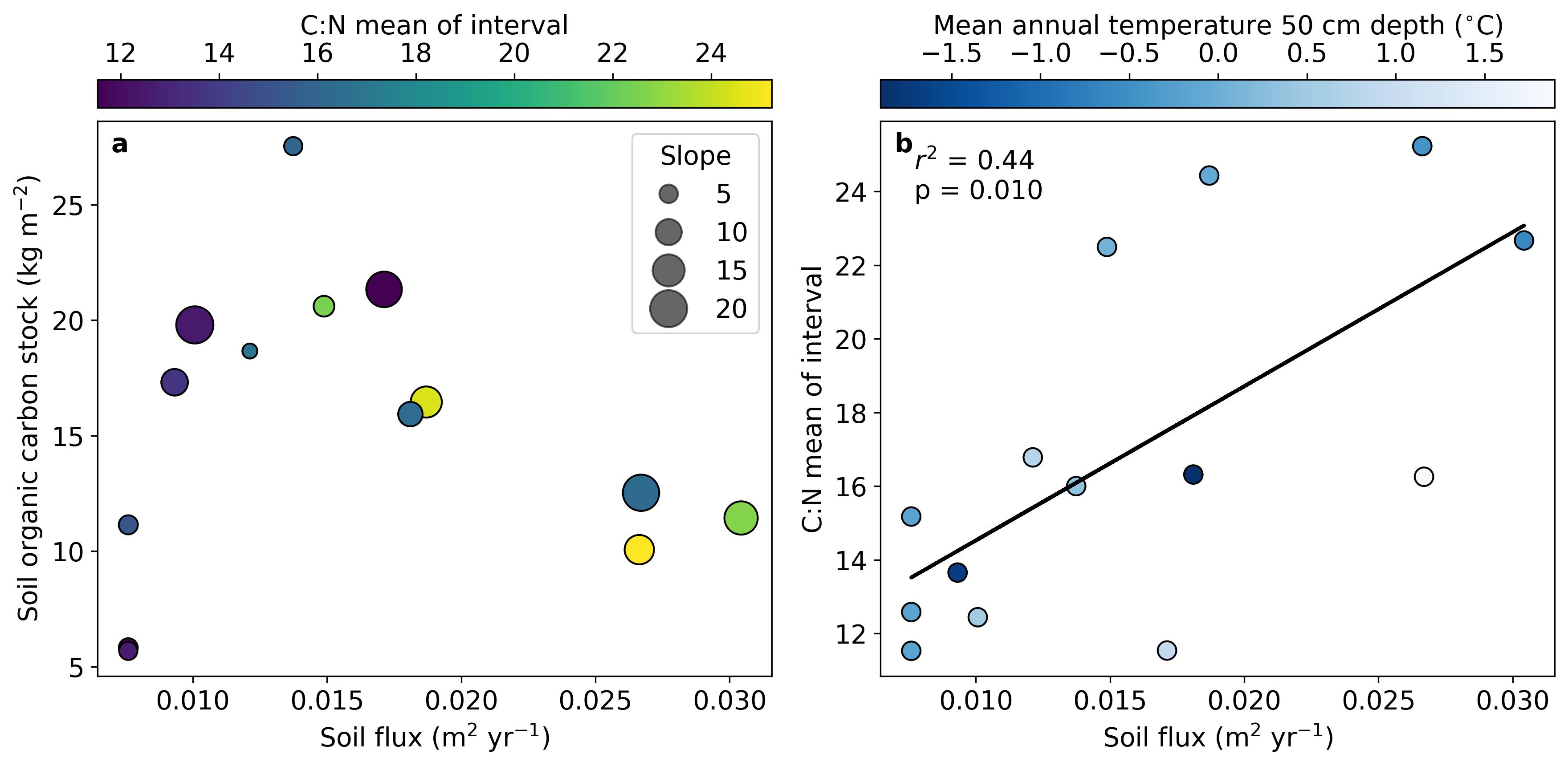
How does carbon move around hillslopes in permafrost landscapes?
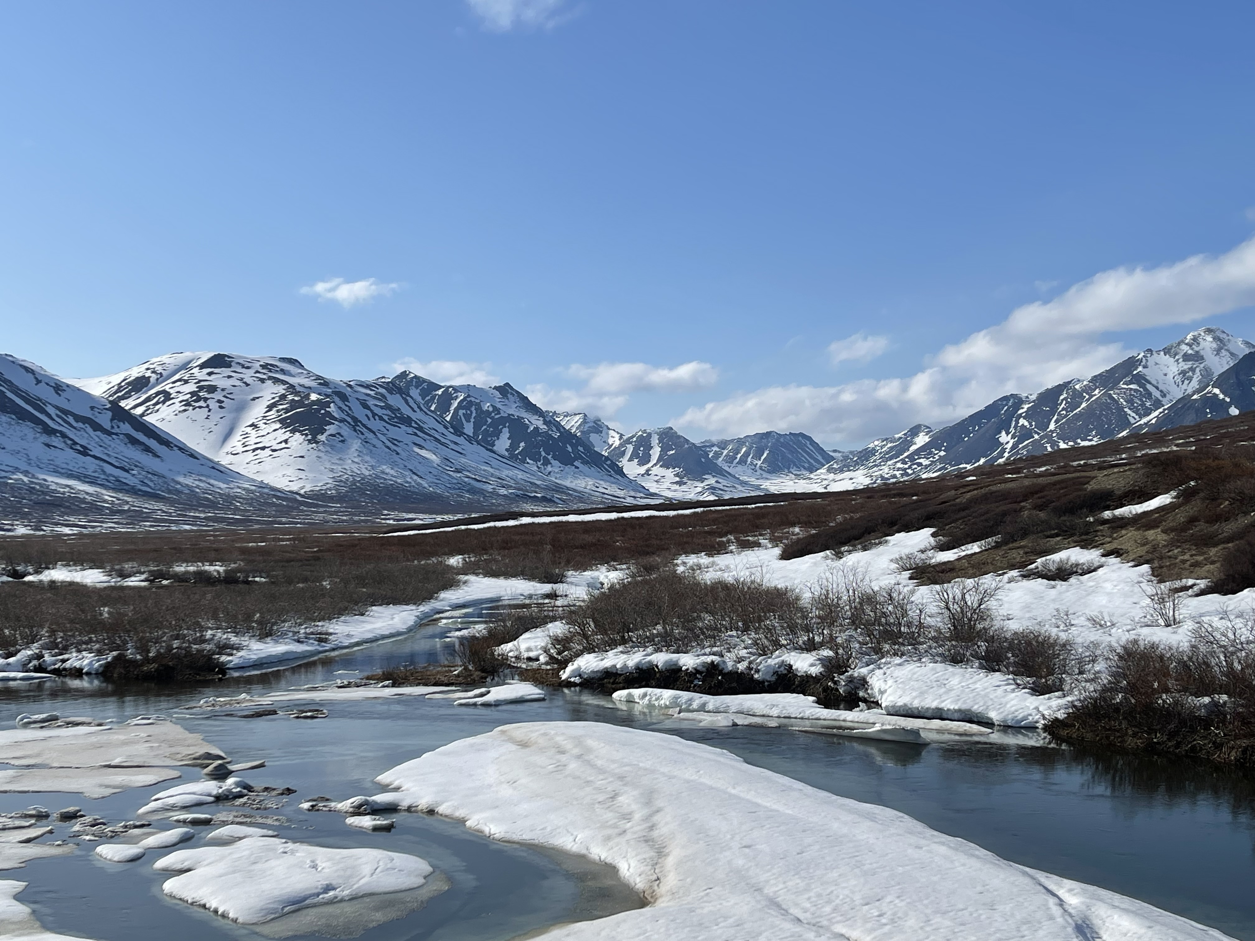
We are using measurements of soil carbon and nitrogen and hillslope soil fluxes to understand how soils and carbon move across hillslopes in permafrost terrains. We've found that there seems to be an optimum hillslope soil flux for carbon storage.
Can we build better methods to estimate snow characteristics using satellites?
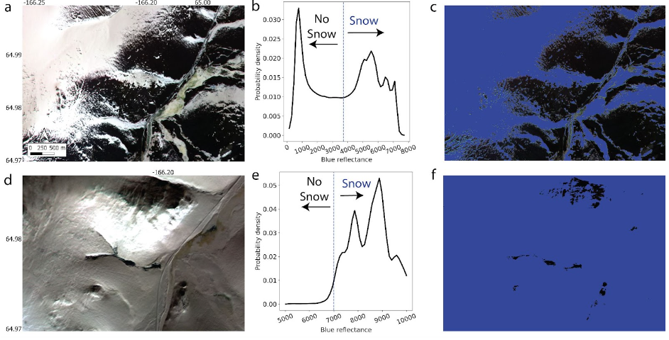
We developed an algorithm called the Blue Snow Threshold algorithm, which dynamically sets a threshold blue reflectance value to separate snow and non-snow pixels . Now, because we are only using blue wavelengths, we can use high-resolution satellites to actually map the distribution of snow on the landscape throughout the year. This approach can be especially use to understand changing snow patterns in tundra ecosystems.
How good are machine learning models at mapping permafrost?
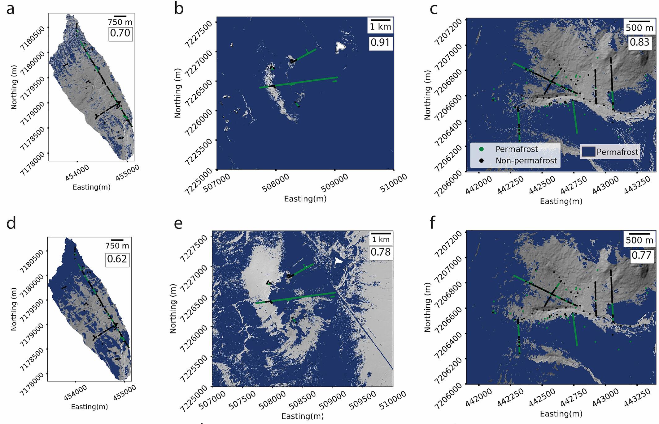
We've been working on training machine learning models to make better maps of near-surface permafrost and to determine which attributes in the landscape and ecosystem are best predictors of permafrost presence.
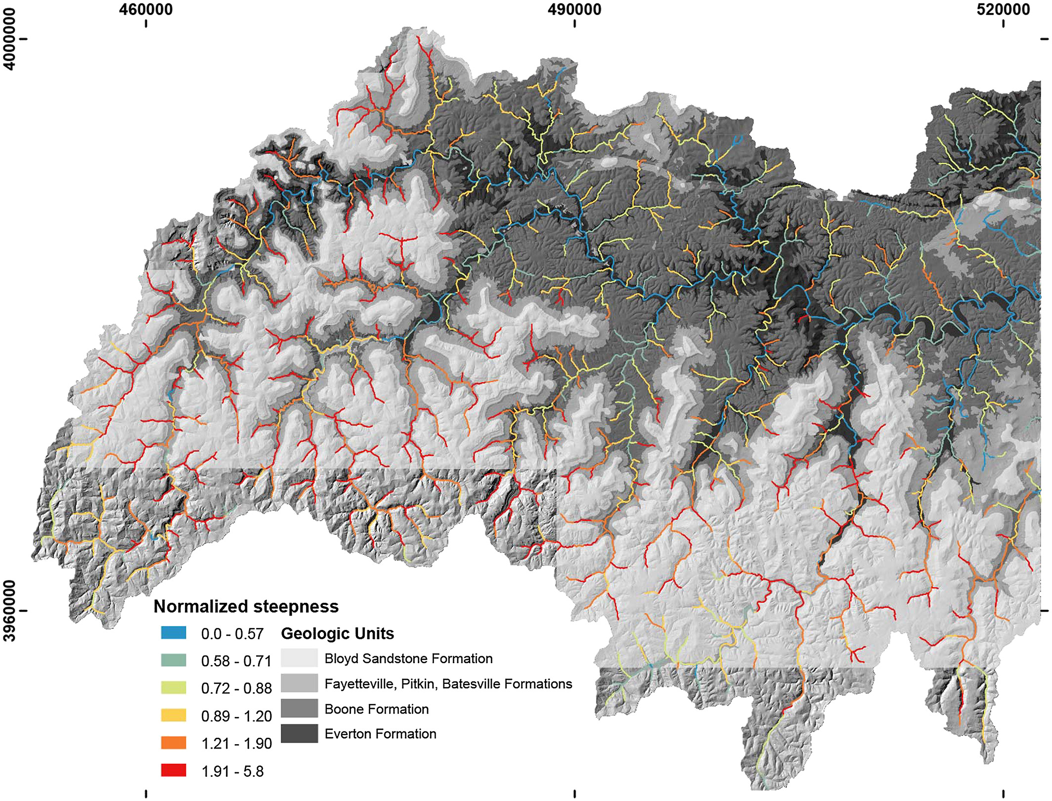
What controls bedrock channel steepness?
Using the local natural laboratory, the Buffalo National River Basin, we've explored controls on bedrock channel steepness. We found that the presence of really big boulders, derived from the sandstone caprock, influence where channels are the steepest.